| The
Two RV Gypsies: Full-Time RVers in
Valdez, Alaska July 16 - 17, 2016 |
|
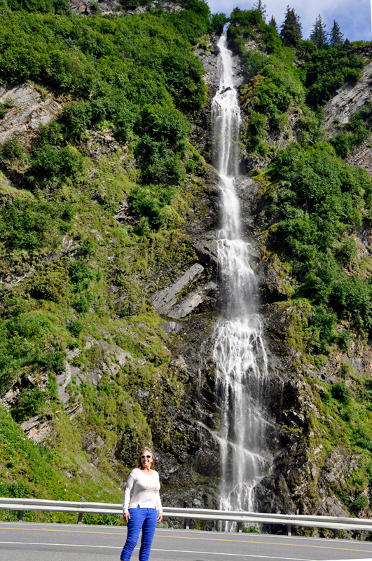
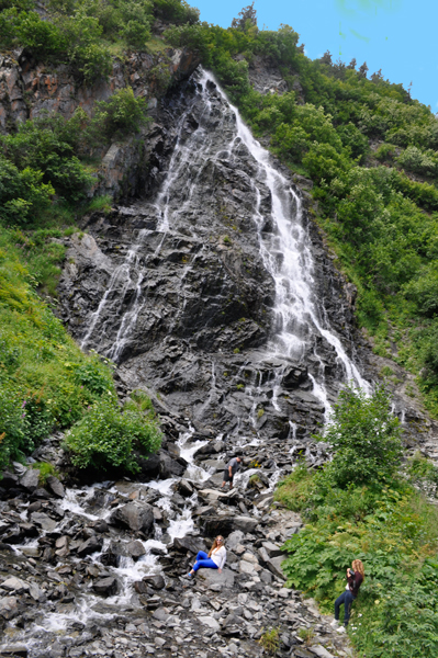
WATERFALLS at Keystone Canyon |
|
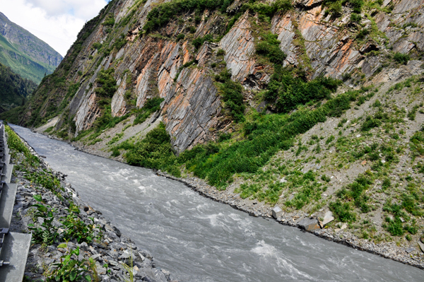
Near Valdez, Richardson Highway
winds along the turbulent Lowe River in Keystone Canyon. The sheer canyon
walls contain countless waterfalls and interesting rock formations.
Note: (Richardson Highway was Alaska's first highway and began as a
pack trail in the late 1800's with branches to Eagle and Fairbanks.
The 364 miles of this paved highway constitute one of the state's most
scenic routes. Keystone Canyon was named by Captain William Ralph Abercrombie,
presumably for Pennsylvania, the Keystone state. Unfortunately, the
two RV Gypsies did not learn any statistics (height) for the two waterfalls
shown below. |
|
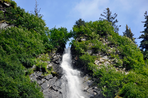
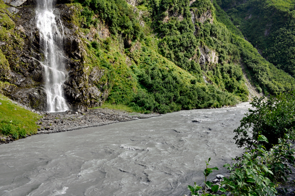
Bridalveil Falls |
|
Below: The top of Bridalveil Falls |
The bottom of Bridalveil Falls/Lowe River |
Lowe River |
|
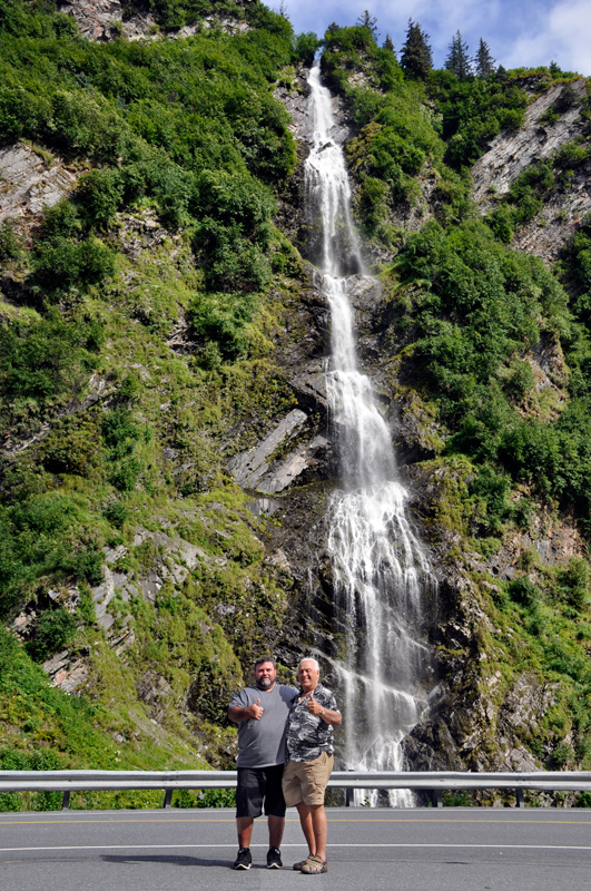
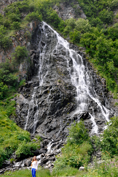
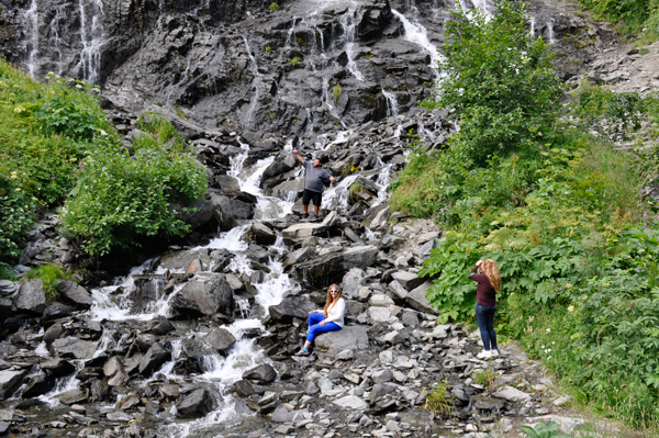
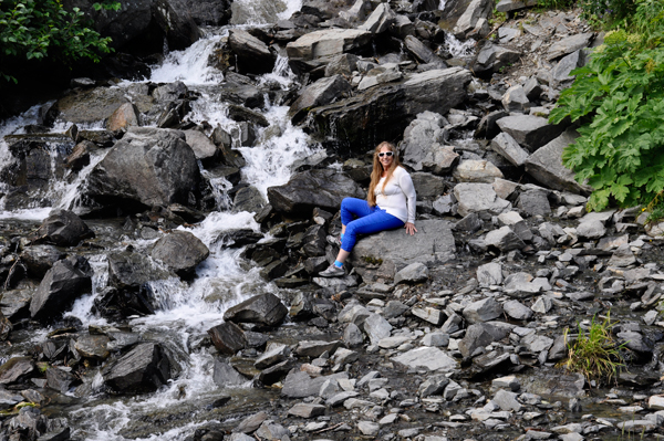
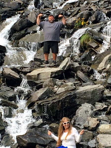
Below: Horsetail Falls |
|
Karen, John and Ilse at Horsetail Falls (Can you find John in the photo? He is in darker color clothing.) |
|
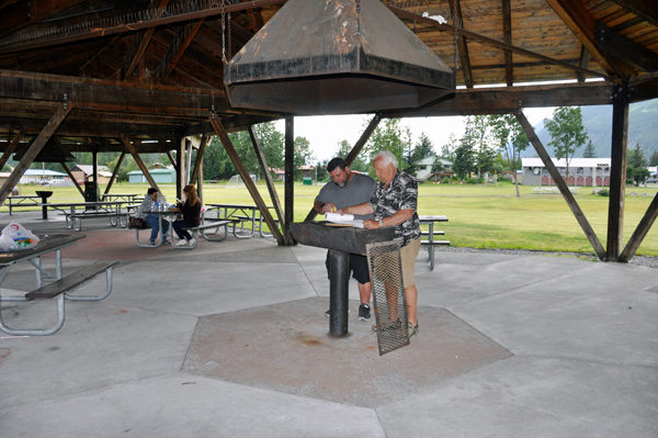
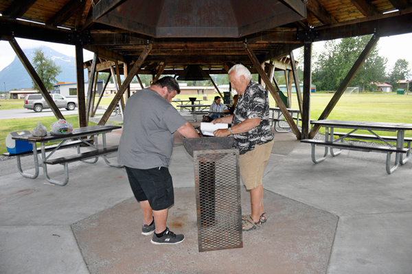
Below: Lunch time - The men cooking hot dogs at a nearby park in Valdez, Alaska |
|
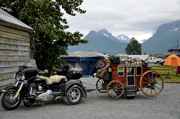
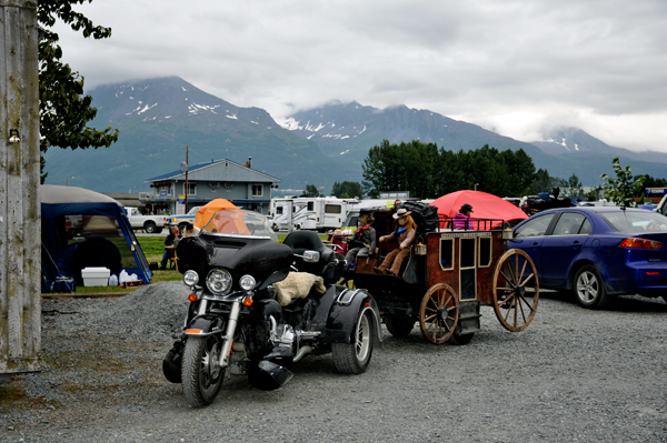
Below: A motorcycle pulling a stagecoach and dolls |
|
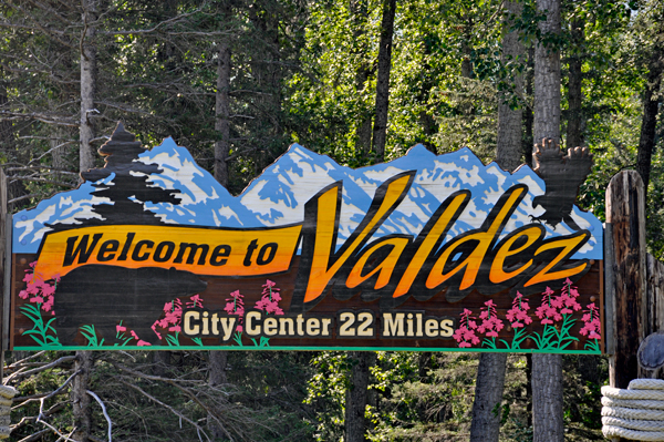
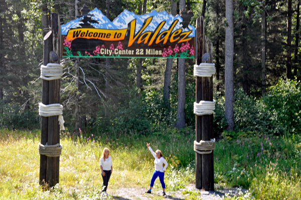
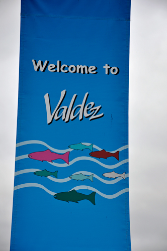
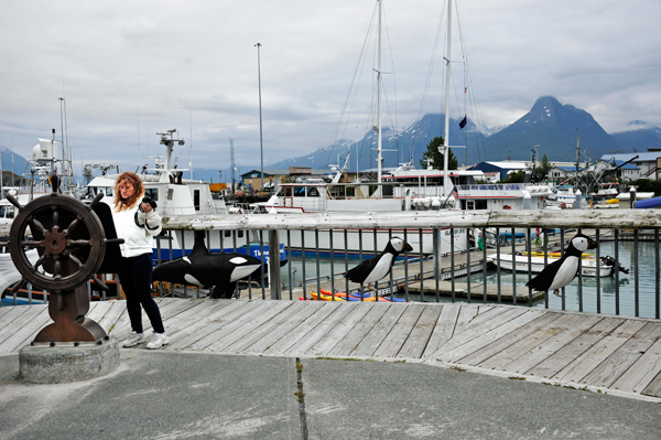
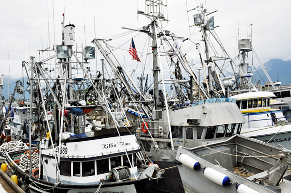
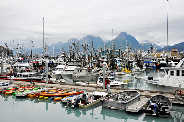
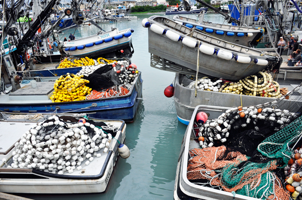
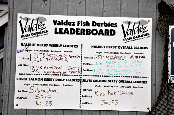
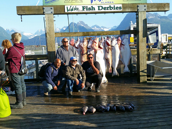
The town of Valdez covers about 274 square miles. Population about 4,100. Industry - oil, commercial fishing, seafood processing, shipping, tourism, and post-secondary education. The Alaska pipeline ends in Valdez. Valdez gets more than 300 inches of snow annually. Nearby Thompson Pass records between 600 - 900 inches annually.Valdez is the activity center for Prince William Sound. Its growth is due to trading, salmon canning, gold and copper mining. Valdez is home to five named glaciers - Columbia, Meares, Worthington, Shoup and Valdez Glaciers. The two RV Gypsies visited 4 of these 5 glaciers and photos are on this website. This is a town well-worth visiting and spending time in. And the local Radio Shack had a good computer technician, which Karen had to use in 2009. |
|
 |
|
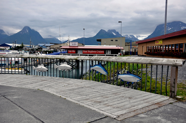
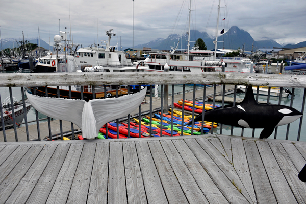
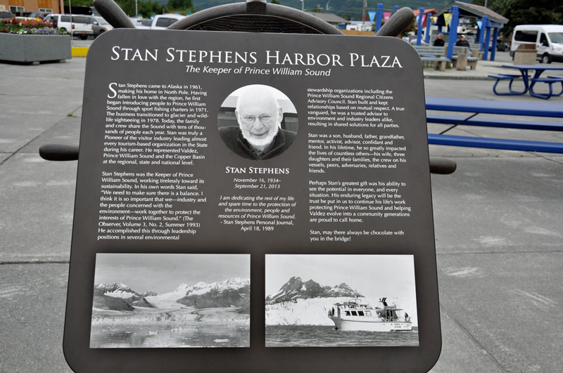
Below: Fish, a whale tail and dolphin on the fence at Stan Stephens Plaza |
|
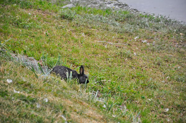
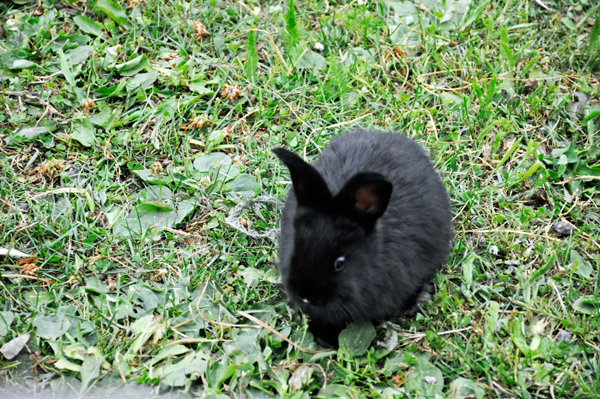
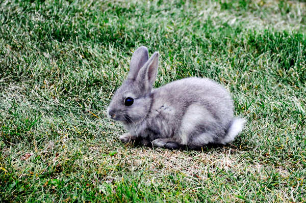
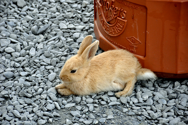
Below: Lots of rabbits were everywhere in Valdez |
|